Cart
0
Complete Your Setup



LiDAR gives more robust range and lighting independence for geometry. vSLAM gives richer visual detail and lower hardware cost. For most engineers, the real answer is not a single winner: robust systems like those built on ORB-SLAM or LOAM pipelines increasingly combine both approaches.
TL;DR:
- LiDAR provides more reliable accuracy in varying weather and lighting conditions but is more expensive and bulkier than cameras.
- vSLAM performs well indoors with textured surfaces and good lighting but degrades significantly in low-light or reflective environments.
- Combining both sensors with proper calibration and synchronization enhances robustness, especially in complex or outdoor scenarios.
- Indoor environments favor vSLAM, while outdoor, all-weather applications tend to rely more on LiDAR or fused systems for safety.
- Sensor choice depends heavily on the specific mission profile, with fusion becoming more standard as costs decline and technology advances.
LiDAR measures distance by timing laser pulses and building a point cloud, a direct geometric record of the world. vSLAM instead tracks visual features across camera frames and reconstructs geometry indirectly, which makes it naturally richer in semantic detail (what a surface is) but weaker in raw geometric certainty.
The practical trade-offs break down along a few axes engineers actually plan around:
Indoor deployments with rich texture, good lighting, and tight budgets often favor vSLAM. Outdoor or low-visibility environments, where failure has higher stakes, tend to favor LiDAR or a fused approach. Neither sensor type wins on every axis, which is exactly why integration decisions come down to the specific mission profile rather than a general rule.
A LiDAR unit fires laser pulses and measures the time each one takes to return, producing a dense point cloud with precise range per point. Successive scans are registered against each other (scan-to-scan) or against an accumulated map (scan-to-map) to estimate motion and build a consistent map over time.

LOAM and its variants split scans into edge and planar features, matching them across frames for fast, accurate odometry; F-LOAM trims the compute cost further. 2. ICP (Iterative Closest Point) aligns point clouds by minimizing distance between matched points, a workhorse for scan registration. 3. NDT (Normal Distributions Transform) models local point density as probability distributions, often more robust than ICP in sparse or noisy scans.
LiDAR struggles with glass, mirrors, and other specular or low-return surfaces, where pulses scatter or vanish instead of bouncing back cleanly.
vSLAM estimates camera motion and scene structure from a stream of images, moving through four rough stages: initialization, feature tracking, local mapping, and loop closure to correct drift when the system revisits a known location.
Bundle adjustment, which jointly refines camera poses and 3D points, underlies most of these pipelines and is the main reason vSLAM can get compute-hungry as a map grows.
A NASA flight-test comparison of ORB-SLAM variants against LOAM found that LiDAR SLAM held up better under variable lighting and weather, while vSLAM extracted more visual features useful for object recognition and semantic detail. Separately, an ISPRS case study measured accuracy on indoor textured surfaces and found the opposite pattern in that setting.
On certain indoor textured surfaces, vSLAM showed somewhat lower RMSE than LiDAR SLAM, though the same study notes this flips depending on surface type and scene geometry. Neither paper crowns a universal winner.
Practical notes for engineers:
Indoor spaces are small, textured, and lit consistently, which plays to vSLAM’s strengths. Outdoor spaces introduce longer range requirements, variable sunlight, and weather, conditions where LiDAR tends to hold its accuracy more consistently.
Pro Tip: Mount LiDAR units slightly above typical furniture height and angle cameras away from direct light sources to cut down on the two most common indoor failure modes at once.
Combining sensors can mean tight coupling, where raw measurements feed one joint estimator, or loose coupling, where each sensor runs its own pipeline and outputs get merged later. Tight coupling generally produces better accuracy but demands more careful engineering; loose coupling is simpler to build and debug.
Our focus is on practical home robotics, including robot vacuums that rely on LiDAR navigation for fast, reliable cleaning routes. For readers who want to see these concepts applied at the consumer level, our guide to robot vacuum mapping walks through how LiDAR and visual SLAM show up in everyday cleaning robots, and our mapping troubleshooting guide covers the fixes homeowners actually need when a map goes wrong.
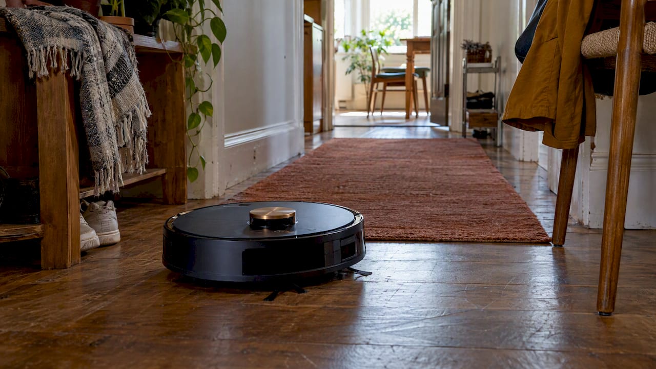
Our FloorPilot™ Smart Robot Vacuum documents LiDAR navigation in a real consumer product, useful context if you want to see the engineering choices above translated into a device people actually run at home. For anyone evaluating camera-based mapping, our piece on robot vacuum privacy covers the data-handling trade-offs that come with vSLAM’s camera feeds.

Our take: pick LiDAR when safety and all-weather reliability matter more than cost, pick vSLAM when budget and semantic richness matter more than raw robustness, and plan for fusion the moment either constraint gets serious. LiDAR prices keep falling, on-device vision models keep improving, and multi-modal sensing, already standard in systems like Waymo’s 6th-generation Driver, is becoming the default rather than the exception.
— Tony
LiDAR navigation uses laser pulses to measure distances to surrounding objects, building a point cloud map that a robot or vehicle uses to locate itself and plan a path. It works independently of ambient light, which makes it reliable in dark rooms or at night.
LiDAR offers more consistent geometric accuracy in poor lighting and weather, while cameras capture richer visual and semantic detail that LiDAR cannot see on its own, according to a PMC review of SLAM approaches. Most advanced driving systems, including Waymo’s multi-modal sensing suite, combine both rather than relying on either alone.
Elon Musk publicly called LiDAR a “fool’s errand” in 2019, arguing cameras alone could handle autonomous driving. Other manufacturers, including Waymo, have continued pursuing multi-modal sensing that combines LiDAR, cameras, and radar for added redundancy.
LiDAR struggles with glass, mirrors, and other reflective or low-return surfaces, where laser pulses scatter instead of bouncing back cleanly. It also costs more, draws more power, and adds bulk compared to a camera-only setup, which is part of why some compact robots favor vSLAM instead.